Space and time visualisation

Authors’ Comment
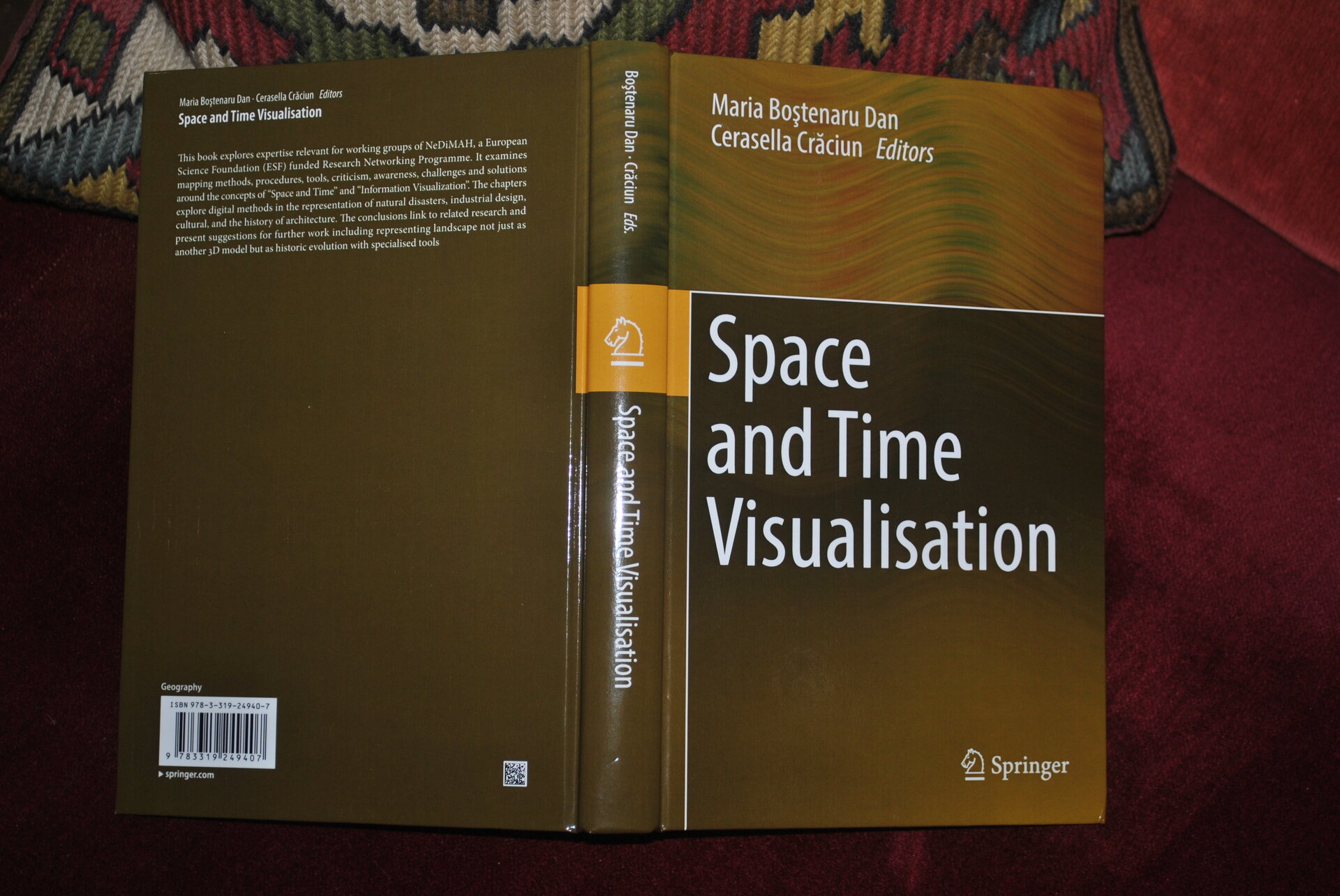
This book gathers transdisciplinary contributions from authors from three continents, from countries such as Romania, Germany, Switzerland, Italy, Greece, USA, Sri Lanka and was drafted at the conclusion of the International Cooperation Programme Network for Digital Methods in Arts and Humanities (acronym NeDiMAH) co-financed by the European Science Foundation and 17 ESF member organisations from 16 ESF member countries including the National Council for Scientific Research (CNCS) in Romania.
The book is an effort by the coordinating editors to integrate important contributions focused on methodologies, methods, tools, criticism, but also on the effort to raise awareness of challenges and to promote possible solutions of (re)presentation, visualization, (re)virtual making and mapping, focused on the concepts of "SPACE AND TIME" in relation to methods of "INFORMATION VISUALATION".
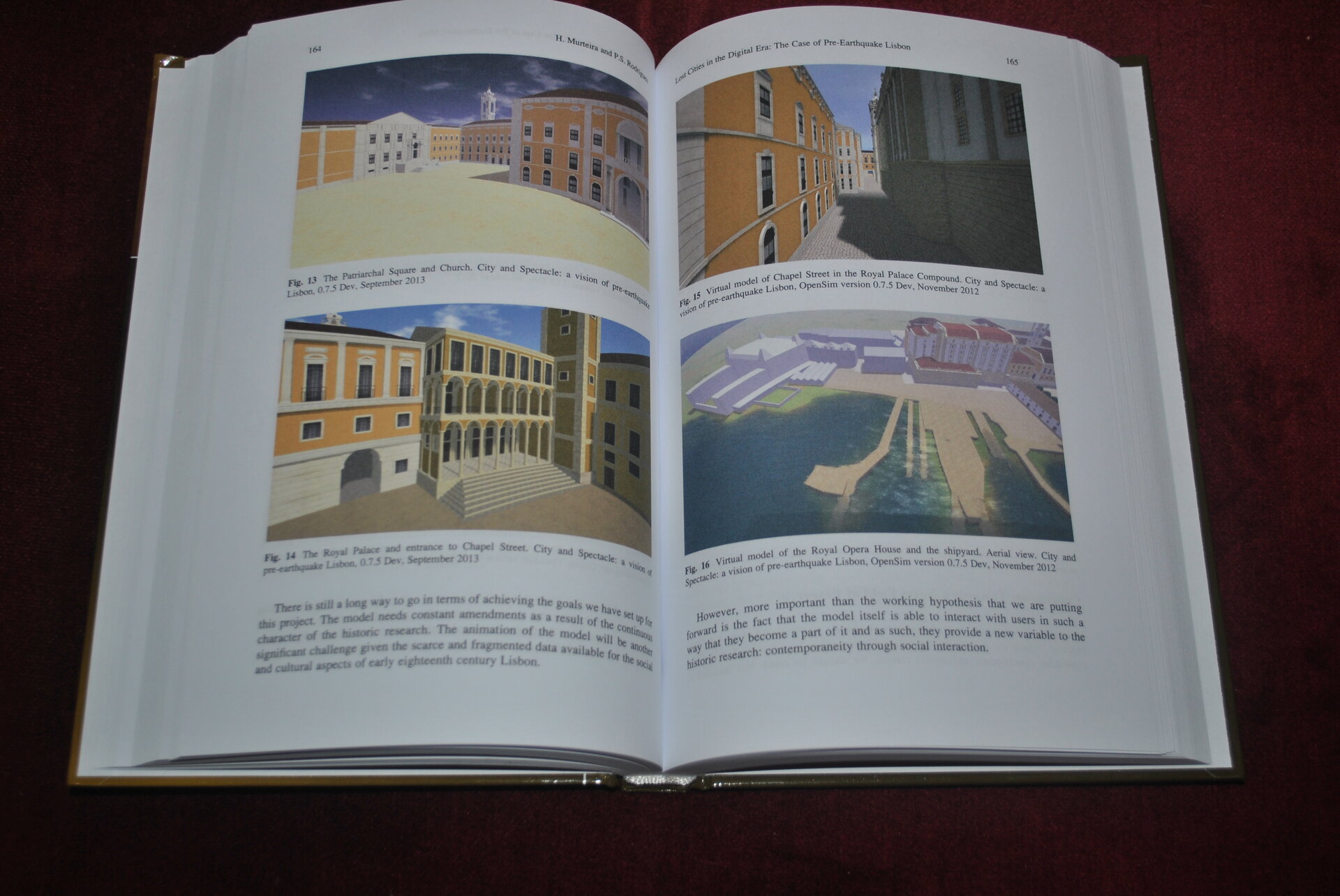
The chapters of the book explore the importance of using Digital Methods in the study of image as a means of representation in Landscape, Architecture and Urbanism, by representing landscape history, urbanism and architecture, natural disasters, industrial design and cultural aspects of their integration.
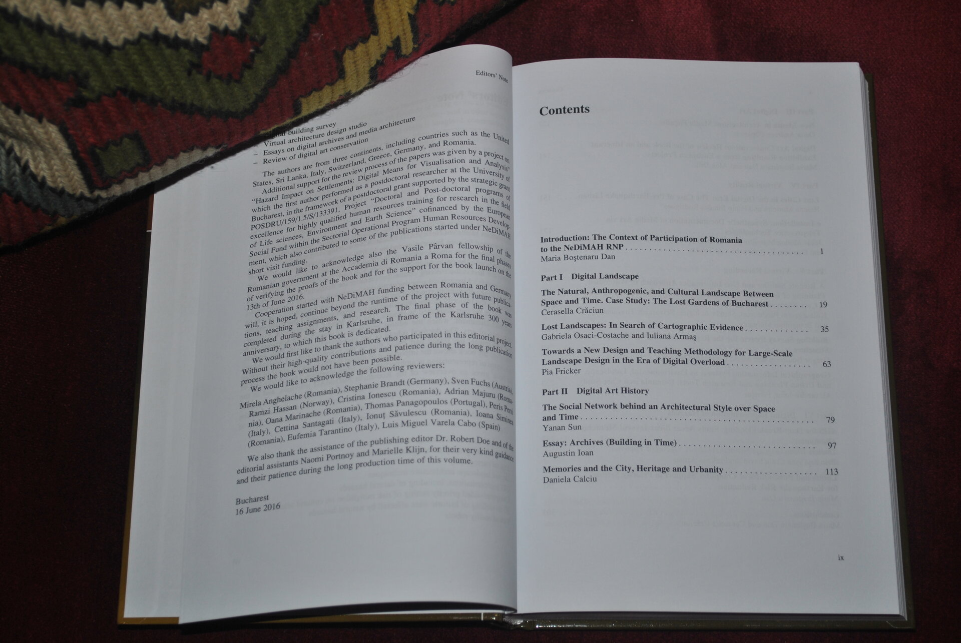
The introduction of the book provides an insight into NeDiMAH's activities in Romania, while the Conclusions chapter presents the theoretical framework of these means of viewing information, which is based on this experience and the opinion of the invited experts, who were authors of the chapters presented in the book.
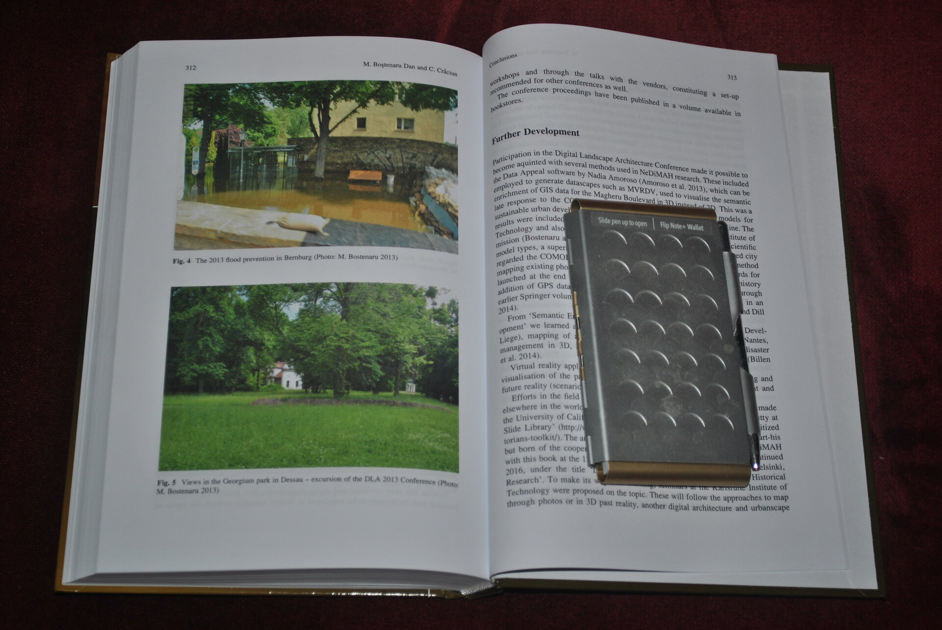
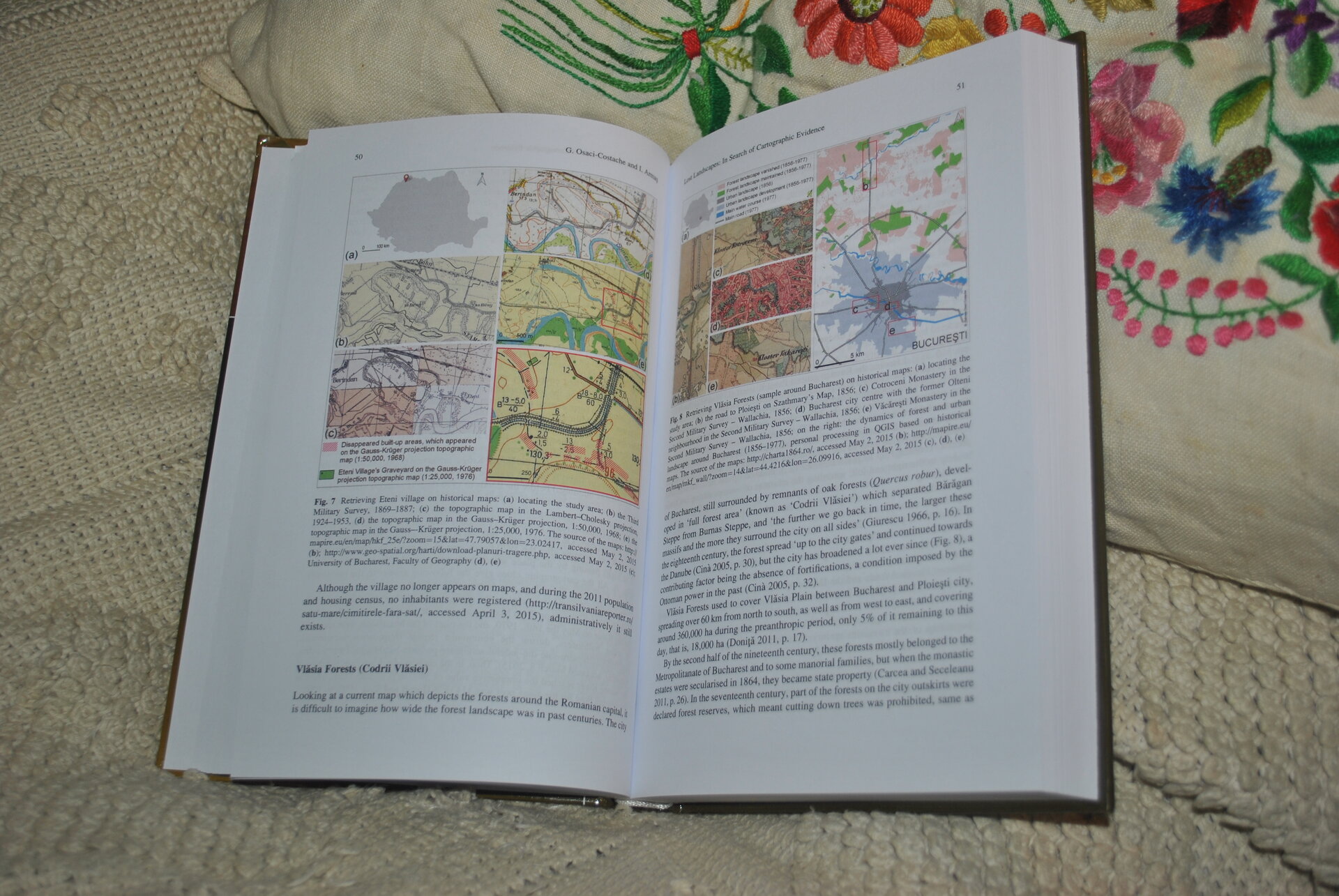
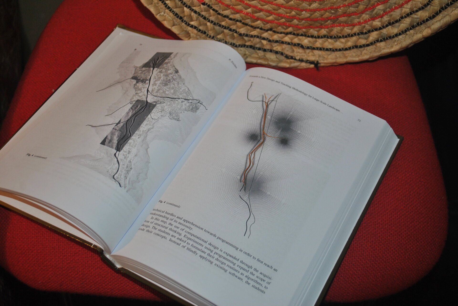
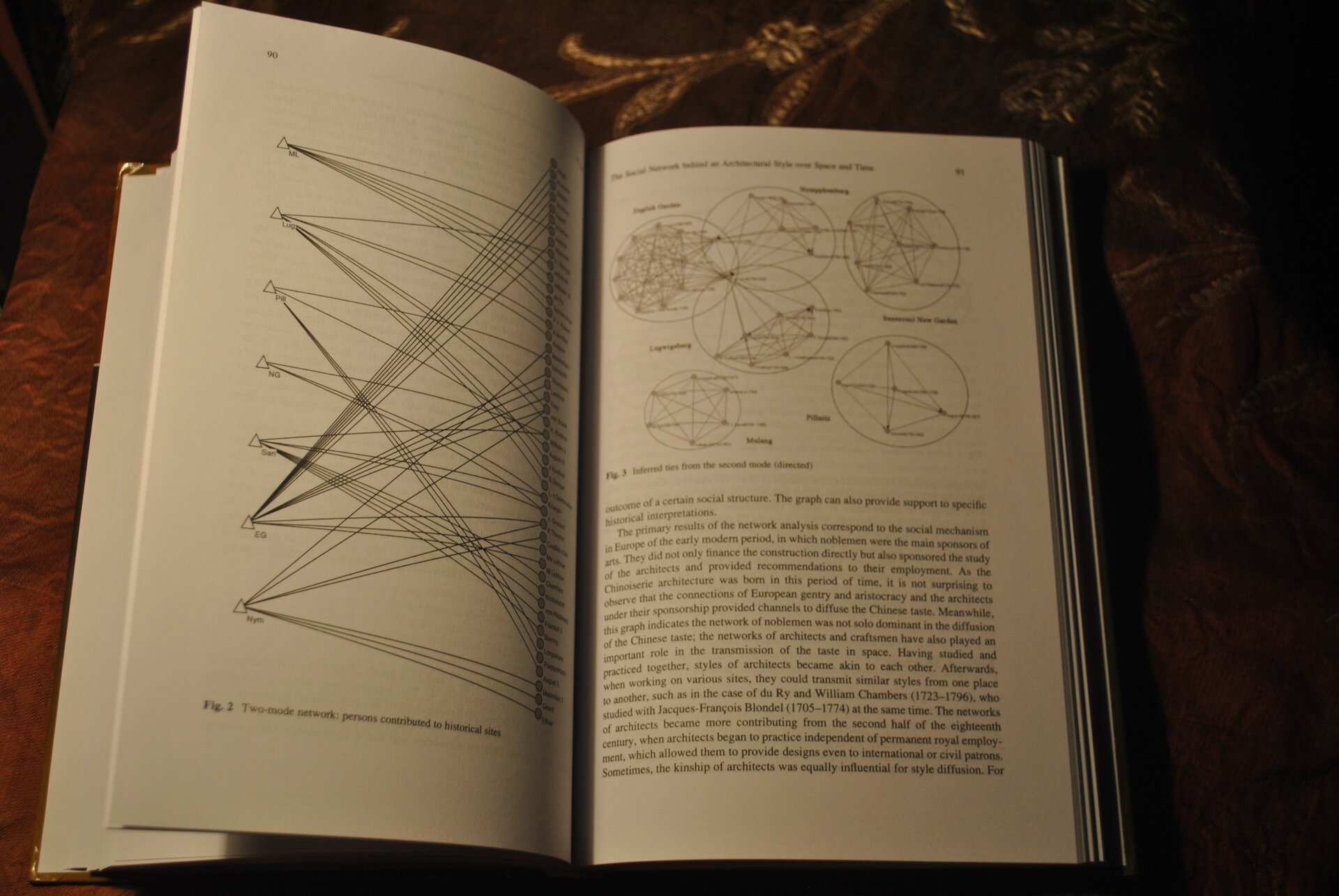
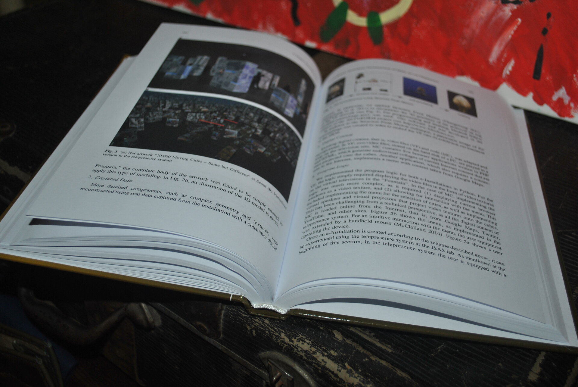
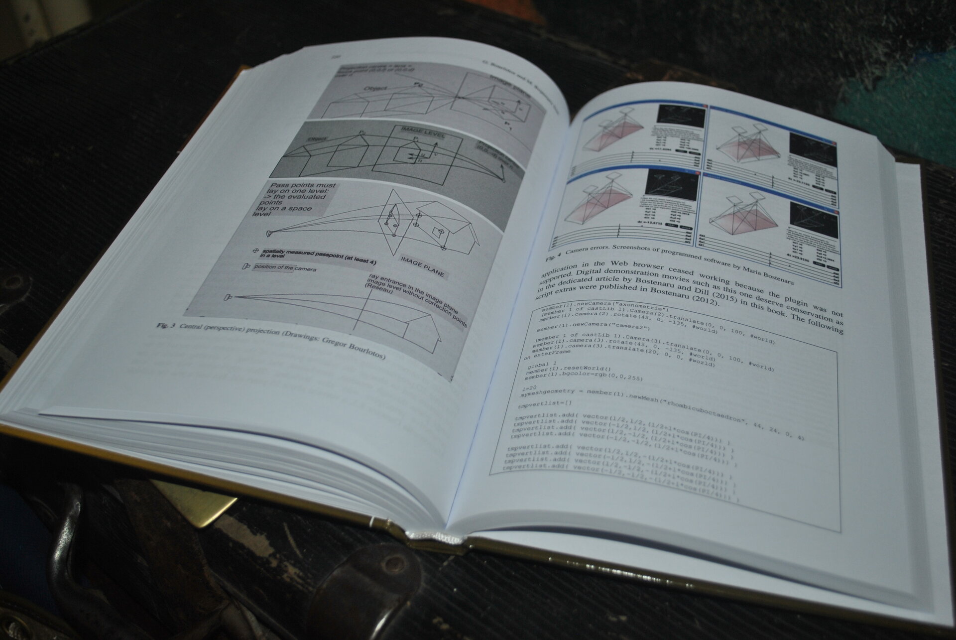
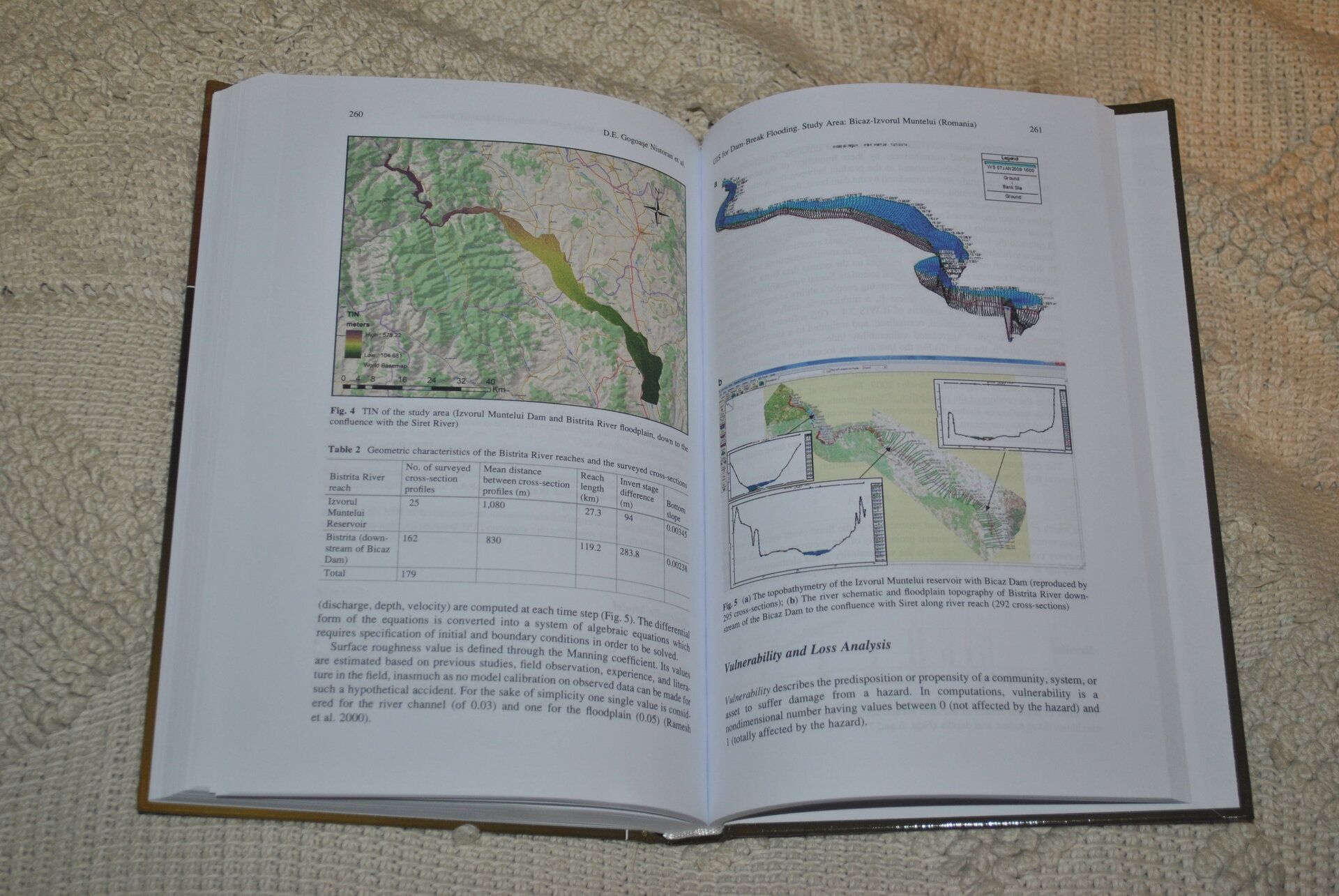
Published contributions include themes such as: historical research of lost/disappeared landscapes, cartography and digital techniques of landscape architecture, network analysis of heritage architecture, GIS representations, computer prioritization on the prevention of risks to cultural objects, 3D modeling of historical sites affected by natural hazards, use of virtual reality robots, digital survey, virtual design workshop, digital archives and media architecture, preservation of digital art. The conclusions link with related research and present suggestions for future work and research, including the representation of the landscape not only as a 3D model, but also as a unique historical evolutionary suite, specifically/particularly, but also decisive for a territory, which requires research, interpretation and visualization and/or virtual restoration, through specific tools, in order to preserve the memory of the place in space and time, for future generations of researchers and specialists, for other urban actors participating in urban-architectural spatial and territorial processes, as well as for the general public or tourists.
Architecture Books
- Horia Creangă. A monography
- Bucharest Modernism Art Deco – a visual guide to architecture
- A Suitable Model for the Romanian Lifestyle: Garden Cities in Bucharest (1908-1948)
- Designing The Profile of The Future Architect
- Space and time visualisation
- Houses with Emotions
- The Romanian Dwelling. A Folder
- EMA OMA
- Sit?
