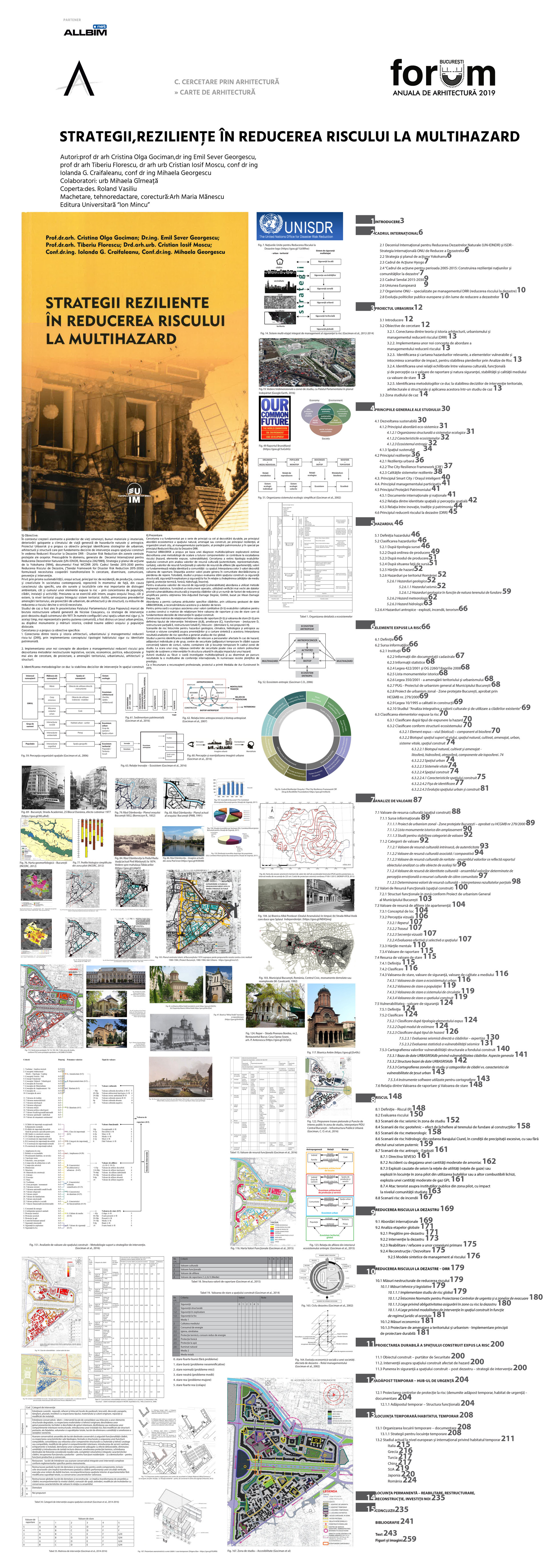
Strategies, resiliences in multihazard risk reduction

Authors’ Comment
The research has proposed specific objectives: 1. To link the theory and history of architecture, urbanism and risk reduction management (DRR), by implementing the concept of safe habitat typology with patrimonial identity. 2. To identify the methodologies leading to the determination of the intervention decision in the built-up area exposed to risk and their application in a case study (maintenance, improvement, transformation, replacement, new investments). The URBASRISK project, on the basis of a multidisciplinary exploratory diagnosis, proposed the development of a scaling methodology for all components contributing to the escalation of risk (hazard, exposed items, vulnerability). The research has expanded the typology of the built space evaluations based on the analysis of cultural resource values (authenticity, representativeness, rarity), functional resource values and emotional resource values, values that underpin the identity of the community with space. Interpolation of the three values develops the reporting value. The disappearance of these values can cause community uprooting and loss of landmarks. At the same time, the study proposed the assessment of the state of the built space as structural safety, operational safety and fire safety in relation to the fulfillment of the environmental qualities (hygiene, thermal, sound, waterproofing, insolation). Their interpolation forms the value of the state of the built space. For the first time, it was proposed to associate quantitative values (0-5) to qualitative values in order to build a matrix of relationship between the reporting value and the state value that would substantiate the decision-making decisions in the built space. Constructing the relationship matrix between the reporting value (0-5) and the state value (0-5) by defining the type of intervention: maintenance (A, B), amelioration (C), transformation - (restoration D, total restructuring F), replacement - (demolition G, new proposals H). The risk scenarios for geological, climatic, hydrological and anthropological hazards provided a complete view of threats and a synthetic mapping. The interpolation resulting from specific risk analysis generated overall global risk analysis. The study identified ways of relocating the persons affected in case of hazards, individual and group shelters, security centers in converted buildings and temporary housing within the study area. At the scale of a city, the network of security centers can create a polynuclear logistics system to support interventions in the urban structure in situation of the impact of a hazard. Regarding sustainability, the current city, the main place of residence, production, consumption and creativity in contemporary society represents, due to its specific character, one of the most important sources and locations of environmental destruction both cumulation of items exposed to risk - by concentration of population, buildings, installations and activities. The pressure is exercised both internally, on the city itself and externally at the territorial level on the entire territorial system. Thus, the harmonization of spatial planning stipulations of urban, architecture and structure design with risk mitigation measures becomes a strict necessity.2019
Research in Architecture
Architecture Books
Architecture Books
- The Other City. Places and Stories from Bucharest-South
- Shrinking Cities in Romania. Orașe românești în declin
- FAR. 12 Architecture photographers from Romania
- Delirious New York. A Retroactive Manifesto for Manhattan
- Catalogue of subassemblies. Vol. 1: Principle Solutions for Thermal Insulation Systems for the Building Envelope - 2018
- Water as hazard and water as heritage
- Natural and man-made hazard impact on urban areas
- Strategies, resiliences in multihazard risk reduction
- 40 projects. Studio 25/35
- Romanian applied study on rural heritage
