The Oltenian Tower Houses. Potential Landmarks of the UNESCO World Heritage

Authors’ Comment
The subject of the Oltenian cule – habitation towers is highly relevant to the development of knowledge in both Romanian architectural history and global architectural history. The study is based on a comprehensive bibliography.
In addition to traditional research methods, it employs innovative landscape analysis—both on a local and extended scale—using a program based on virtual three-dimensional maps that generates visibility maps from any given point. This type of investigation is particularly important for this topic, as previous research mentioned myths of long-distance communication between such buildings, especially during the 1821 Revolution led by Tudor Vladimirescu. Using online maps and programs, areas of visibility and visual communication between cule were identified, particularly along the Olt and Jiu valleys.
The visibility fields from the upper floors of the cule reveal their relationship with settlements, the surrounding terrain, and allow analogies concerning visibility in relation to the age of nearby fortified archaeological sites, both ancient and medieval, or the positioning of entrances in relation to the physical-geographical and urban context—elements that were correlated with regional history and landscape aesthetics.
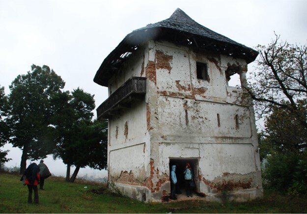
This research draws on practical investigative experience gained through collaboration with the École de Chaillot, which was expanded and applied to archival research, geographic studies, and landscape analysis. The study includes a comparative board of architectural surveys at the same scale, organized both chronologically and by volumetric configuration. These surveys suggest older spatial typologies by relating dimensions and proportions to dated constructions, compensating for the lack of historical, technical, or masonry stratigraphy data that could support hypotheses regarding earlier construction phases—some potentially of exceptional age.
As a result, ten architectural typologies were identified:
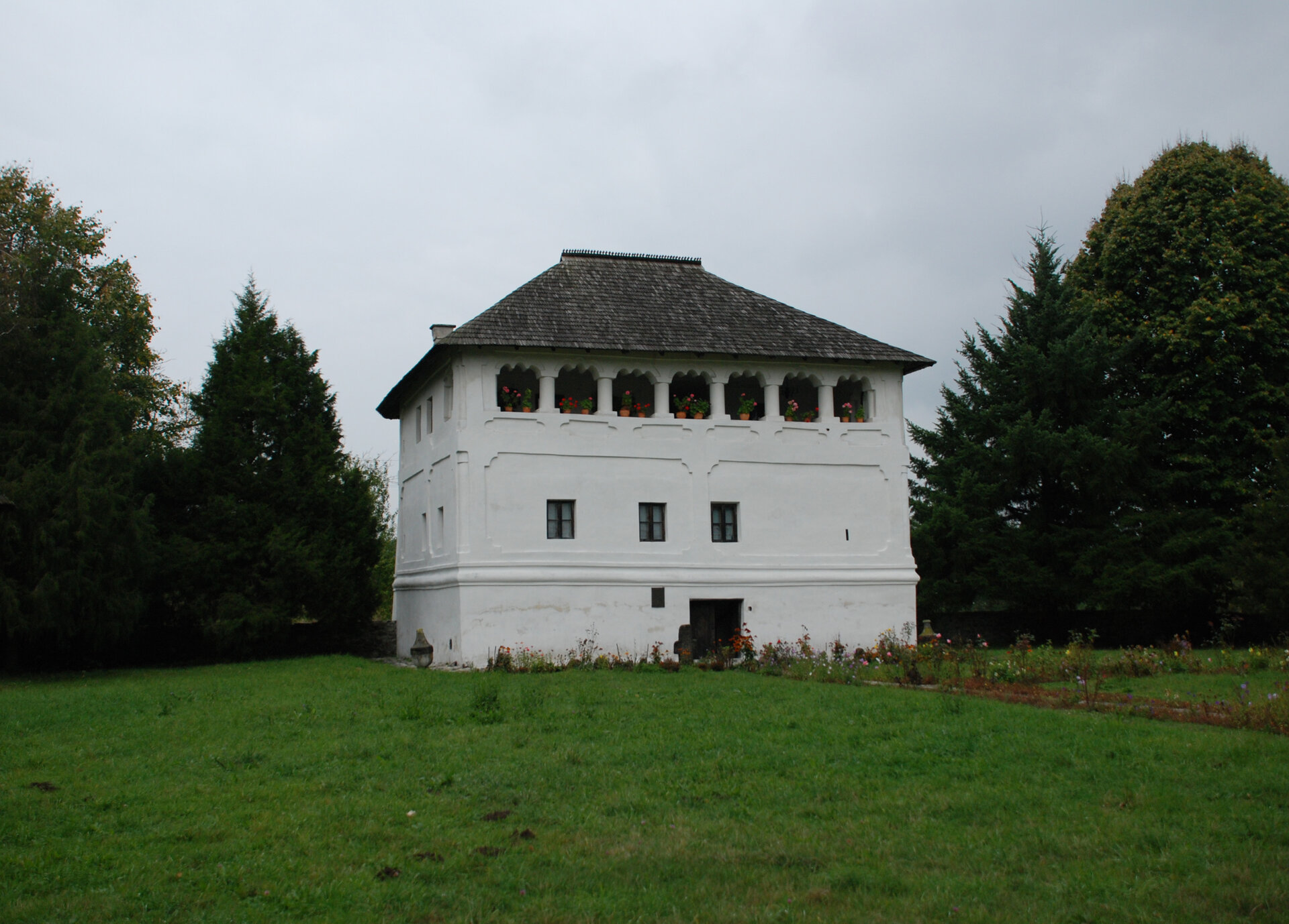
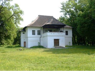
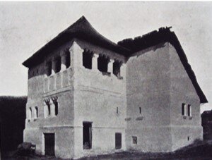
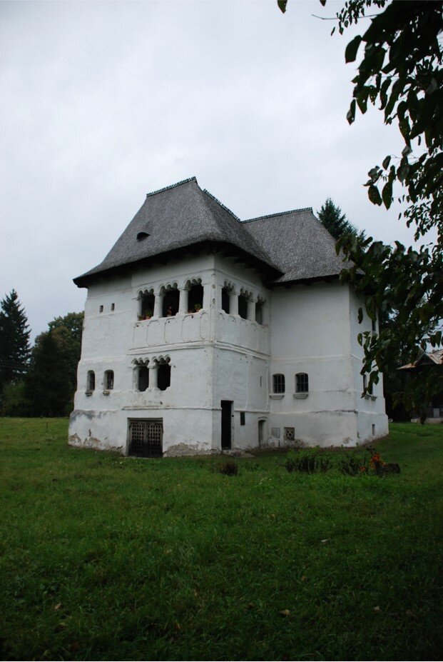
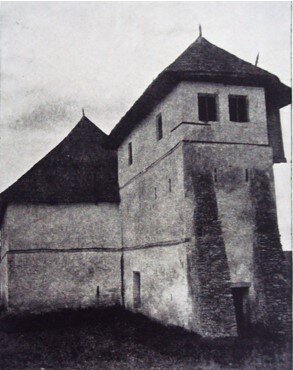
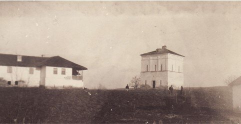
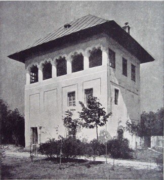
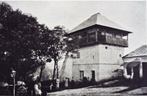
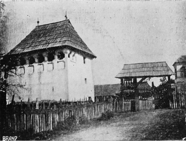
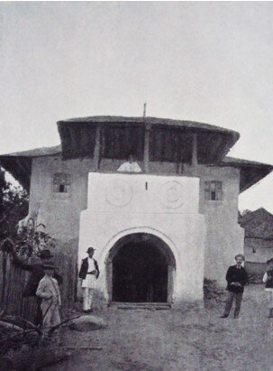
The fortified cula,
Fortified manors with horizontally composed volumes,
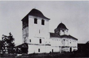
Fortified manors with towers,
Annex towers next to manors,
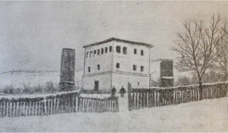
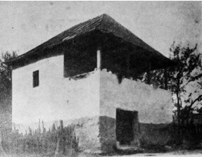
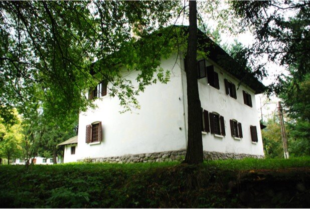
Towers used as permanent houses,
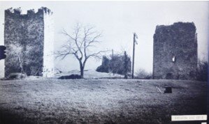
Watchtowers,
The wooden cula of Ercea (1856),
The house-cula,
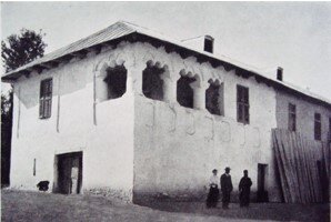
The peasant cula,
And the "caprice cula"—a category including later examples, some in the Neo-Romanian style, built after the 1821 Revolution.
These typologies are distinguished by their architecture, dating intervals, social status of founders, geographical coherence, and links to historical events.
The novel aspects of this research include:
The proposal of ten architectural typologies and their organic evolution;
Clarifications on geographical, historical, and social dynamics;
Highlighting historical events significant to the typologies’ development;
Verifying the relationship between cule and ancient or medieval fortified ruins;
Studies on location, visibility, and landscape aesthetics;
Proposals for classification within regional classicism and baroque styles;
Technical and material data on the origin and evolution of the cule;
Demonstrating the classification of Oltenian cule as cultural landscape;
Demonstrating their outstanding universal value;
Presenting the research findings in a comprehensive textual and graphic manner.

Architecture Books
- Conversions. A Laboratory-Book
- Beyond Norms. Non-standard dwellings in Communist Romania
- Ironwork. Bucharest 1890-1945
- The connection of the healing architecture. The hospital built by Dăruiește Viață
- Beyond Perimeter: 12 Complementary Pedagogies for a Sustainable Architecture
- Landscape blog 2014 - 2019. LE:NOTRE news
- The dual element water and the inclusion in architectural programs in the first half of the 20th century
- Digital architecture history of the first half of the 20th century in Europe, Second revised edition
- Individual All-Around
- Aldo Rossi – A Critical Inquiry “Call Me Aldo.”
- The crumbling of the faces of the fortress. Busts from Bucharest
- The Oltenian Tower Houses. Potential Landmarks of the UNESCO World Heritage
- Visual Archives
- Block of flats: E. Botez, S. Baloșin, H. Delavrancea-Gibory, M. Maller, T. Niga
- 1000
